
Anandnagar topographic map
Interactive map
Click on the map to display elevation.
About this map
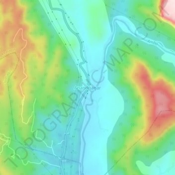
Name: Anandnagar topographic map, elevation, terrain.
Location: Anandnagar, Khalapur, Raigad, Maharashtra, India (18.69107 73.28168 18.73107 73.32168)
Average elevation: 145 m
Minimum elevation: 38 m
Maximum elevation: 389 m