
Katzenfurt topographic map
Interactive map
Click on the map to display elevation.
About this map
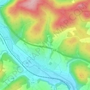
Name: Katzenfurt topographic map, elevation, terrain.
Location: Katzenfurt, Ehringshausen, Lahn-Dill-Kreis, Hessen, Deutschland (50.61028 8.32396 50.64071 8.37307)
Average elevation: 248 m
Minimum elevation: 174 m
Maximum elevation: 357 m