
Городецкий сельский Совет topographic map
Interactive map
Click on the map to display elevation.
About this map
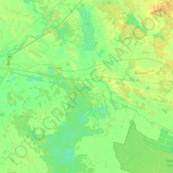
Name: Городецкий сельский Совет topographic map, elevation, terrain.
Average elevation: 145 m
Minimum elevation: 135 m
Maximum elevation: 161 m
Other topographic maps
Click on a map to view its topography, its elevation and its terrain.
Нетреба
Беларусь > Брестская область > Кобринский район > Городецкий сельский Совет > Нетреба
Нетреба, Городецкий сельский Совет, Кобринский район, Брестская область, Беларусь
Average elevation: 144 m