
Chumayel topographic map
Interactive map
Click on the map to display elevation.
About this map
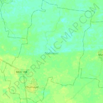
Name: Chumayel topographic map, elevation, terrain.
Location: Chumayel, Yucatán, México (20.41300 -89.33673 20.52987 -89.22517)
Average elevation: 21 m
Minimum elevation: 15 m
Maximum elevation: 28 m