
Thank you for supporting this site ❤️
Make a donation
Make a donation
Thansing topographic map
Click on the map to display elevation.
Thank you for supporting this site ❤️
Make a donation
Make a donation
About this map
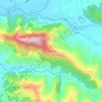
Name: Thansing topographic map, elevation, terrain.
Location: Thansing, Likhu, Nuwakot, Bagmati Province, Nepal (27.86331 85.20604 27.90331 85.24604)
Average elevation: 713 m
Minimum elevation: 532 m
Maximum elevation: 1,152 m
Thank you for supporting this site ❤️
Make a donation
Make a donation