
Thank you for supporting this site ❤️
Make a donation
Make a donation
Kumbaray topographic map
Click on the map to display elevation.
Thank you for supporting this site ❤️
Make a donation
Make a donation
About this map
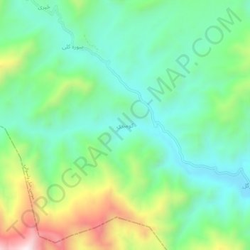
Name: Kumbaray topographic map, elevation, terrain.
Location: Kumbaray, Musakhel, Khost Province, Afghanistan (33.46574 69.75336 33.50574 69.79336)
Average elevation: 1,791 m
Minimum elevation: 1,550 m
Maximum elevation: 2,337 m
Thank you for supporting this site ❤️
Make a donation
Make a donation