
Brassell topographic map
Interactive map
Click on the map to display elevation.
About this map
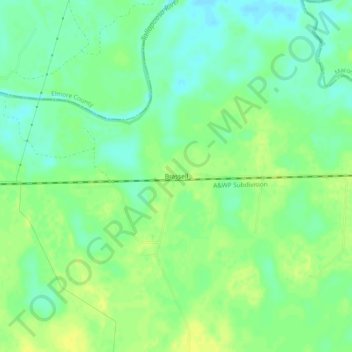
Name: Brassell topographic map, elevation, terrain.
Location: Brassell, Montgomery County, Alabama, United States (32.37958 -86.06024 32.41958 -86.02024)
Average elevation: 53 m
Minimum elevation: 43 m
Maximum elevation: 62 m
Other topographic maps
Click on a map to view its topography, its elevation and its terrain.
Wiley
United States > Alabama > Montgomery County > Montgomery
Wiley, Montgomery, Montgomery County, Alabama, 36105, United States
Average elevation: 57 m