
Thank you for supporting this site ❤️
Make a donation
Make a donation
Het Loo topographic map
Click on the map to display elevation.
Thank you for supporting this site ❤️
Make a donation
Make a donation
About this map
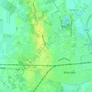
Name: Het Loo topographic map, elevation, terrain.
Location: Het Loo, Wierden, Overijssel, Netherlands, 7641 PP, Netherlands (52.34946 6.55543 52.38946 6.59543)
Average elevation: 12 m
Minimum elevation: 5 m
Maximum elevation: 23 m
Thank you for supporting this site ❤️
Make a donation
Make a donation