
Thank you for supporting this site ❤️
Make a donation
Make a donation
Varasgaon Dam topographic map
Click on the map to display elevation.
Thank you for supporting this site ❤️
Make a donation
Make a donation
About this map
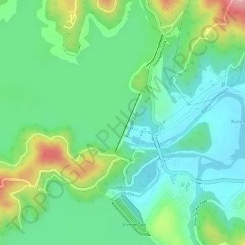
Name: Varasgaon Dam topographic map, elevation, terrain.
Location: Varasgaon Dam, Kuran Budruk, Velhe, Maharashtra, India (18.38495 73.61158 18.39145 73.61449)
Average elevation: 631 m
Minimum elevation: 577 m
Maximum elevation: 741 m
Thank you for supporting this site ❤️
Make a donation
Make a donation