
Sloten topographic map
Interactive map
Click on the map to display elevation.
About this map
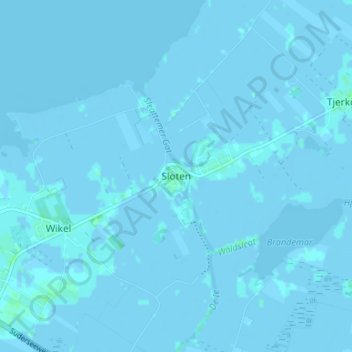
Name: Sloten topographic map, elevation, terrain.
Location: Sloten, Friesland, Niederlande, 8556, Niederlande (52.87499 5.62540 52.91499 5.66540)
Average elevation: 0 m
Minimum elevation: -7 m
Maximum elevation: 5 m