
Thank you for supporting this site ❤️
Make a donation
Make a donation
Hurungwe topographic map
Click on the map to display elevation.
Thank you for supporting this site ❤️
Make a donation
Make a donation
About this map
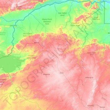
Name: Hurungwe topographic map, elevation, terrain.
Location: Hurungwe, Mashonaland West Province, Zimbabwe (-17.43633 28.82037 -15.60970 30.33928)
Average elevation: 826 m
Minimum elevation: 325 m
Maximum elevation: 1,459 m
Thank you for supporting this site ❤️
Make a donation
Make a donation