
Rothschönberg topographic map
Interactive map
Click on the map to display elevation.
About this map
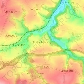
Name: Rothschönberg topographic map, elevation, terrain.
Location: Rothschönberg, Meißen, Sachsen, 01665, Deutschland (51.04461 13.37350 51.08461 13.41350)
Average elevation: 252 m
Minimum elevation: 185 m
Maximum elevation: 303 m