
Nidan Fall topographic map
Click on the map to display elevation.
About this map
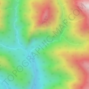
Name: Nidan Fall topographic map, elevation, terrain.
Location: Nidan Fall, Matsumoto, Nagano Prefecture, Japan (36.31667 137.70399 36.31677 137.70409)
Average elevation: 2,048 m
Minimum elevation: 1,654 m
Maximum elevation: 2,619 m