
La Biznaga topographic map
Interactive map
Click on the map to display elevation.
About this map
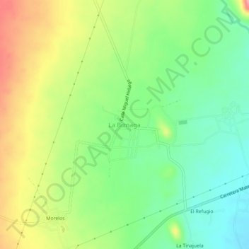
Name: La Biznaga topographic map, elevation, terrain.
Location: La Biznaga, Villa de Guadalupe, San Luis Potosí, México (23.44813 -100.73499 23.48813 -100.69499)
Average elevation: 1,583 m
Minimum elevation: 1,537 m
Maximum elevation: 1,648 m