
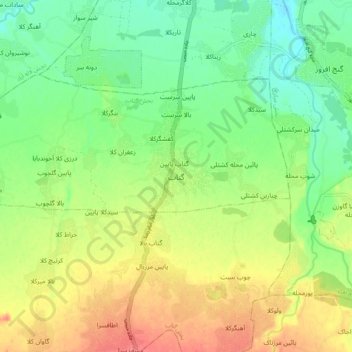
Gatab topographic map
Interactive map
Click on the map to display elevation.
About this map
Name: Gatab topographic map, elevation, terrain.
Location: Gatab, بخش گتاب, Babol County, Mazandaran Province, Iran (36.39172 52.61786 36.47172 52.69786)
Average elevation: 30 m
Minimum elevation: 2 m
Maximum elevation: 65 m