
Ainet topographic map
Interactive map
Click on the map to display elevation.
About this map
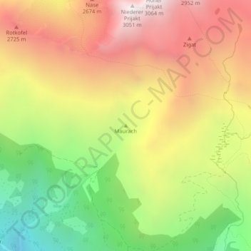
Name: Ainet topographic map, elevation, terrain.
Location: Ainet, Bezirk Lienz, Tirol, 9951, Österreich, Maurach (46.90160 12.70784 46.90170 12.70794)
Average elevation: 2,320 m
Minimum elevation: 1,556 m
Maximum elevation: 3,037 m
Other topographic maps
Click on a map to view its topography, its elevation and its terrain.
Stadt Lienz
Österreich > Tirol > Bezirk Lienz
Stadt Lienz, Bezirk Lienz, Tirol, 9900, Österreich
Average elevation: 1,072 m