
Thank you for supporting this site ❤️
Make a donation
Make a donation
Rangeli topographic map
Click on the map to display elevation.
Thank you for supporting this site ❤️
Make a donation
Make a donation
About this map
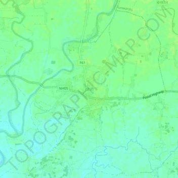
Name: Rangeli topographic map, elevation, terrain.
Location: Rangeli, Morang, Koshi Province, Nepal (26.44315 87.47177 26.48315 87.51177)
Average elevation: 71 m
Minimum elevation: 65 m
Maximum elevation: 74 m
Thank you for supporting this site ❤️
Make a donation
Make a donation
Other topographic maps
Click on a map to view its topography, its elevation and its terrain.