
La Gloria topographic map
Interactive map
Click on the map to display elevation.
About this map
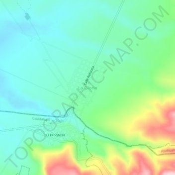
Name: La Gloria topographic map, elevation, terrain.
Location: La Gloria, Perote, Veracruz, México (19.37611 -97.30139 19.41611 -97.26139)
Average elevation: 2,472 m
Minimum elevation: 2,395 m
Maximum elevation: 2,672 m
Other topographic maps
Click on a map to view its topography, its elevation and its terrain.
Cofre de Perote
Cofre de Perote, Perote, Veracruz, México
Average elevation: 3,817 m