
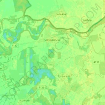
Szatmárcseke topographic map
Interactive map
Click on the map to display elevation.
About this map
Name: Szatmárcseke topographic map, elevation, terrain.
Average elevation: 113 m
Minimum elevation: 104 m
Maximum elevation: 119 m
Other topographic maps
Click on a map to view its topography, its elevation and its terrain.
Mátészalkai járás
Hongarije > Szabolcs-Szatmár-Bereg vármegye
Mátészalkai járás, Szabolcs-Szatmár-Bereg vármegye, Noordelijke Grote Laagvlakte, Hongaarse Laagvlakte en Noord, Hongarije
Average elevation: 125 m