
Gruitrode topographic map
Interactive map
Click on the map to display elevation.
About this map
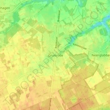
Name: Gruitrode topographic map, elevation, terrain.
Location: Gruitrode, Maaseik, Limburg, Flanders, 3670, Belgium (51.06941 5.56854 51.10941 5.60854)
Average elevation: 71 m
Minimum elevation: 51 m
Maximum elevation: 82 m