
Pukalani topographic map
Interactive map
Click on the map to display elevation.
About this map
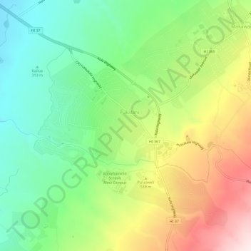
Name: Pukalani topographic map, elevation, terrain.
Location: Pukalani, Maui County, Hawaii, United States (20.80590 -156.35962 20.85947 -156.31559)
Average elevation: 464 m
Minimum elevation: 237 m
Maximum elevation: 814 m