
Thank you for supporting this site ❤️
Make a donation
Make a donation
Dalen topographic map
Click on the map to display elevation.
Thank you for supporting this site ❤️
Make a donation
Make a donation
About this map
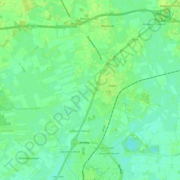
Name: Dalen topographic map, elevation, terrain.
Location: Dalen, Coevorden, Drenthe, Pays-Bas (52.67162 6.67882 52.72391 6.79909)
Average elevation: 12 m
Minimum elevation: 6 m
Maximum elevation: 18 m
Thank you for supporting this site ❤️
Make a donation
Make a donation