
Urse topographic map
Click on the map to display elevation.
About this map
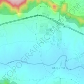
Name: Urse topographic map, elevation, terrain.
Location: Urse, Mawal, Pune District, Maharashtra, 410506, India (18.68400 73.61913 18.72400 73.65913)
Average elevation: 617 m
Minimum elevation: 567 m
Maximum elevation: 892 m
Other topographic maps
Click on a map to view its topography, its elevation and its terrain.