
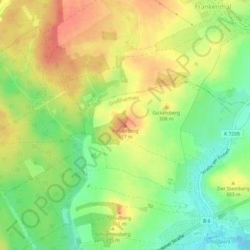
Köhlerberg topographic map
Interactive map
Click on the map to display elevation.
About this map
Name: Köhlerberg topographic map, elevation, terrain.
Location: Köhlerberg, Großharthau, Bautzen, Saksen, 01909, Duitsland (51.11812 14.09094 51.11822 14.09104)
Average elevation: 295 m
Minimum elevation: 265 m
Maximum elevation: 323 m