
Engelenburcht topographic map
Interactive map
Click on the map to display elevation.
About this map
Name: Engelenburcht topographic map, elevation, terrain.
Average elevation: 36 m
Minimum elevation: 6 m
Maximum elevation: 95 m
Other topographic maps
Click on a map to view its topography, its elevation and its terrain.
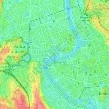
Rome
Italië > Lazio > Roma Capitale > Rome
Rome, Roma Capitale, Lazio, 00100, Italië
Average elevation: 78 m