
Nagtala topographic map
Interactive map
Click on the map to display elevation.
About this map
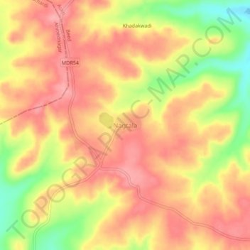
Name: Nagtala topographic map, elevation, terrain.
Location: Nagtala, Ashti, Beed, Maharashtra, India (18.99719 75.19976 19.03719 75.23976)
Average elevation: 728 m
Minimum elevation: 660 m
Maximum elevation: 765 m
Other topographic maps
Click on a map to view its topography, its elevation and its terrain.