
Achar topographic map
Interactive map
Click on the map to display elevation.
About this map
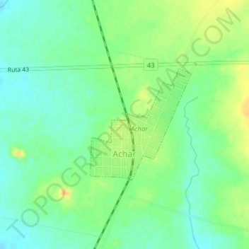
Name: Achar topographic map, elevation, terrain.
Location: Achar, Tacuarembó, 45001, Uruguay (-32.41020 -56.18673 -32.39817 -56.17377)
Average elevation: 172 m
Minimum elevation: 159 m
Maximum elevation: 190 m