
Harlapura topographic map
Interactive map
Click on the map to display elevation.
About this map
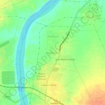
Name: Harlapura topographic map, elevation, terrain.
Average elevation: 537 m
Minimum elevation: 518 m
Maximum elevation: 560 m
Other topographic maps
Click on a map to view its topography, its elevation and its terrain.
Harihara
India > Karnataka > Harihara taluku > Harihara
Harihara, Harihara taluku, Davanagere district, Karnataka, 577600, India
Average elevation: 545 m