
先市镇 topographic map
Interactive map
Click on the map to display elevation.
About this map
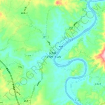
Name: 先市镇 topographic map, elevation, terrain.
Location: 先市镇, 合江县, 泸州市, 四川省, 中国 (28.67211 105.67582 28.75211 105.75582)
Average elevation: 281 m
Minimum elevation: 208 m
Maximum elevation: 502 m
Other topographic maps
Click on a map to view its topography, its elevation and its terrain.