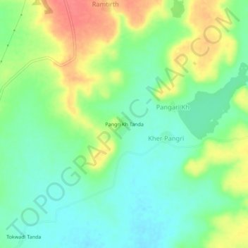
Pangri Kh Tanda topographic map
Interactive map
Click on the map to display elevation.
About this map
Name: Pangri Kh Tanda topographic map, elevation, terrain.
Average elevation: 471 m
Minimum elevation: 446 m
Maximum elevation: 509 m

Click on the map to display elevation.
Name: Pangri Kh Tanda topographic map, elevation, terrain.
Average elevation: 471 m
Minimum elevation: 446 m
Maximum elevation: 509 m