
Ujuni topographic map
Interactive map
Click on the map to display elevation.
About this map
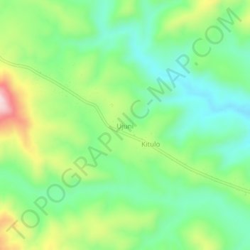
Name: Ujuni topographic map, elevation, terrain.
Location: Ujuni, Makete, Njombe, Südhochlandzone, Tansania (-9.13815 33.97368 -9.09815 34.01368)
Average elevation: 2,560 m
Minimum elevation: 2,439 m
Maximum elevation: 2,794 m