
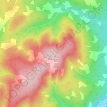
Shepody Mountain topographic map
Interactive map
Click on the map to display elevation.
About this map
Name: Shepody Mountain topographic map, elevation, terrain.
Average elevation: 176 m
Minimum elevation: 0 m
Maximum elevation: 327 m
Other topographic maps
Click on a map to view its topography, its elevation and its terrain.
Riverside-Albert
Canada > New Brunswick > Hopewell Parish
Riverside-Albert, Hopewell Parish, Albert County, New Brunswick, E4H 4C1, Canada
Average elevation: 35 m
Hopewell Parish
Canada > New Brunswick > Hopewell Parish
Hopewell Parish, Albert County, New Brunswick, Canada
Average elevation: 96 m