
Green Valley topographic map
Interactive map
Click on the map to display elevation.
About this map
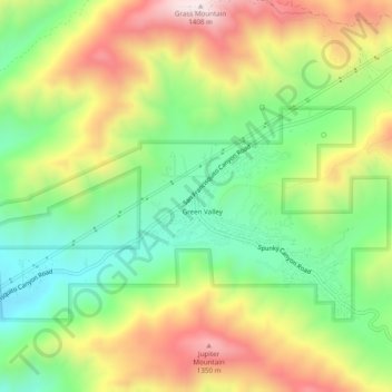
Name: Green Valley topographic map, elevation, terrain.
Location: Green Valley, Los Angeles County, California, USA (34.60165 -118.43397 34.64165 -118.39397)
Average elevation: 1,046 m
Minimum elevation: 778 m
Maximum elevation: 1,400 m