
Olp topographic map
Interactive map
Click on the map to display elevation.
About this map
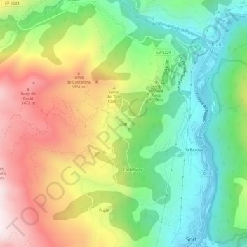
Name: Olp topographic map, elevation, terrain.
Location: Olp, Sort, Pallars-Supérieur, Lérida, Catalogne, 25560, Espagne (42.41015 1.09500 42.45015 1.13500)
Average elevation: 1,063 m
Minimum elevation: 686 m
Maximum elevation: 1,601 m