
Kappel am Albis topographic map
Interactive map
Click on the map to display elevation.
About this map
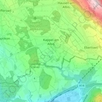
Name: Kappel am Albis topographic map, elevation, terrain.
Location: Kappel am Albis, Bezirk Affoltern, Zürich, Schweiz (47.21081 8.48271 47.23929 8.54394)
Average elevation: 574 m
Minimum elevation: 442 m
Maximum elevation: 892 m