
West Mountain topographic map
Interactive map
Click on the map to display elevation.
About this map
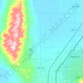
Name: West Mountain topographic map, elevation, terrain.
Location: West Mountain, Utah County, Utah, United States (40.01180 -111.80620 40.11420 -111.76420)
Average elevation: 1,490 m
Minimum elevation: 1,366 m
Maximum elevation: 2,097 m