
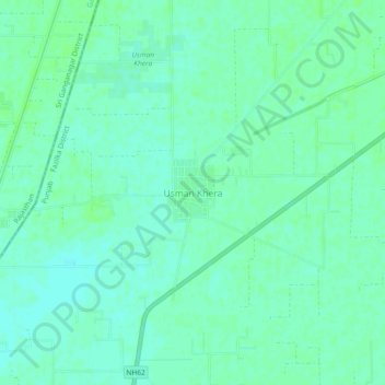
Usman Khera topographic map
Interactive map
Click on the map to display elevation.
About this map
Name: Usman Khera topographic map, elevation, terrain.
Location: Usman Khera, Abohar Tahsil, Fazilka District, Punjab, India (30.00236 73.89249 30.04236 73.93249)
Average elevation: 178 m
Minimum elevation: 174 m
Maximum elevation: 181 m
Other topographic maps
Click on a map to view its topography, its elevation and its terrain.
Gumjal
India > Punjab > Abohar Tahsil
Gumjal, Abohar Tahsil, Fazilka District, Punjab, India
Average elevation: 178 m
Abohar
India > Punjab > Abohar Tahsil
Abohar, Abohar Tahsil, Fazilka District, Punjab, 152116, India
Average elevation: 188 m