
Andros Town topographic map
Interactive map
Click on the map to display elevation.
About this map
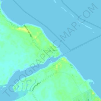
Name: Andros Town topographic map, elevation, terrain.
Location: Andros Town, North Andros, The Bahamas (24.70792 -77.80884 24.74792 -77.76884)
Average elevation: 3 m
Minimum elevation: -2 m
Maximum elevation: 17 m
Other topographic maps
Click on a map to view its topography, its elevation and its terrain.
Williams Island
Williams Island, North Andros, The Bahamas
Average elevation: 0 m