
Kishiwada topographic map
Interactive map
Click on the map to display elevation.
About this map
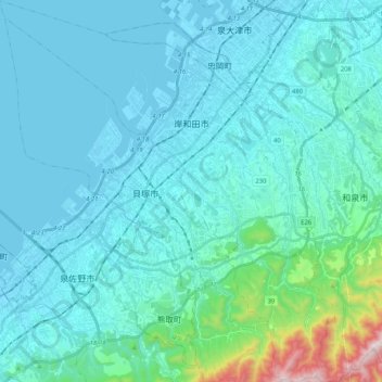
Name: Kishiwada topographic map, elevation, terrain.
Location: Kishiwada, Osaka Prefecture, Japan (34.34737 135.28034 34.51961 135.46373)
Average elevation: 95 m
Minimum elevation: -4 m
Maximum elevation: 877 m