
Kadavoor topographic map
Interactive map
Click on the map to display elevation.
About this map
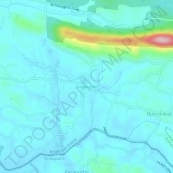
Name: Kadavoor topographic map, elevation, terrain.
Location: Kadavoor, Kothamangalam, Ernakulam, Kerala, 686671, India (9.98029 76.72220 10.02029 76.76220)
Average elevation: 53 m
Minimum elevation: 18 m
Maximum elevation: 294 m
Other topographic maps
Click on a map to view its topography, its elevation and its terrain.