
Phan Thiết City topographic map
Interactive map
Click on the map to display elevation.
About this map
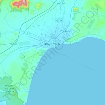
Name: Phan Thiết City topographic map, elevation, terrain.
Location: Phan Thiết City, Bình Thuận Province, Vietnam (10.77686 107.99280 11.02800 108.35021)
Average elevation: 40 m
Minimum elevation: 0 m
Maximum elevation: 890 m