
Peth topographic map
Interactive map
Click on the map to display elevation.
About this map
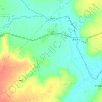
Name: Peth topographic map, elevation, terrain.
Location: Peth, Chikhli, Buldhana, Maharashtra, India (20.34950 76.31366 20.37794 76.35684)
Average elevation: 585 m
Minimum elevation: 563 m
Maximum elevation: 621 m