
Inn topographic map
Interactive map
Click on the map to display elevation.
About this map
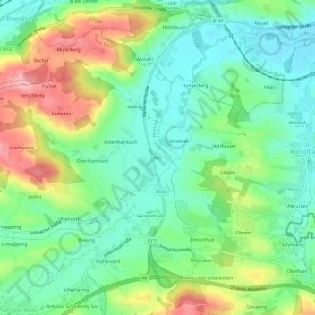
Name: Inn topographic map, elevation, terrain.
Location: Inn, Pichl bei Wels, Bezirk Wels-Land, 4632, Österreich (48.18447 13.90738 48.22447 13.94738)
Average elevation: 344 m
Minimum elevation: 296 m
Maximum elevation: 433 m