
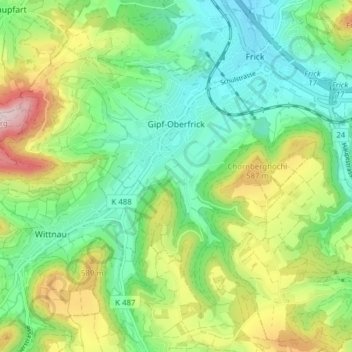
Gipf-Oberfrick topographic map
Interactive map
Click on the map to display elevation.
About this map
Name: Gipf-Oberfrick topographic map, elevation, terrain.
Location: Gipf-Oberfrick, Bezirk Laufenburg, Aargau, 5073, Schweiz (47.47025 7.94941 47.50923 8.02669)
Average elevation: 473 m
Minimum elevation: 337 m
Maximum elevation: 744 m