
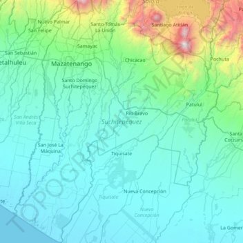
Suchitepéquez topographic map
Interactive map
Click on the map to display elevation.
About this map
Name: Suchitepéquez topographic map, elevation, terrain.
Location: Suchitepéquez, Guatemala (14.04448 -91.67029 14.70529 -91.09331)
Average elevation: 424 m
Minimum elevation: 0 m
Maximum elevation: 3,511 m
Other topographic maps
Click on a map to view its topography, its elevation and its terrain.