
Thank you for supporting this site ❤️
Make a donation
Make a donation
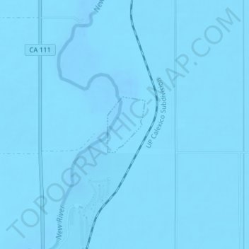
Brawley topographic map
Click on the map to display elevation.
Thank you for supporting this site ❤️
Make a donation
Make a donation
Brawley
Brawley is located in the Colorado Desert and Lower Colorado River Valley regions. The city's elevation, like other Imperial Valley towns, is below sea level.
Thank you for supporting this site ❤️
Make a donation
Make a donation
About this map
Name: Brawley topographic map, elevation, terrain.
Location: Brawley, Imperial County, California, United States (33.01551 -115.51818 33.02155 -115.51331)
Average elevation: -44 m
Minimum elevation: -55 m
Maximum elevation: -38 m
Thank you for supporting this site ❤️
Make a donation
Make a donation