
Rein in Taufers - Riva di Tures topographic map
Interactive map
Click on the map to display elevation.
About this map
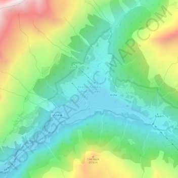
Name: Rein in Taufers - Riva di Tures topographic map, elevation, terrain.
Average elevation: 1,981 m
Minimum elevation: 1,524 m
Maximum elevation: 2,953 m
Other topographic maps
Click on a map to view its topography, its elevation and its terrain.