
Berghäuser topographic map
Interactive map
Click on the map to display elevation.
About this map
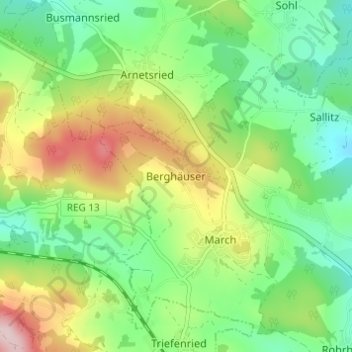
Name: Berghäuser topographic map, elevation, terrain.
Location: Berghäuser, Regen, Landkreis Regen, Bayern, Deutschland (48.96426 13.04032 49.00426 13.08032)
Average elevation: 635 m
Minimum elevation: 528 m
Maximum elevation: 824 m