
Tatasi topographic map
Interactive map
Click on the map to display elevation.
About this map
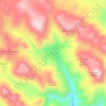
Name: Tatasi topographic map, elevation, terrain.
Location: Tatasi, Sur Chichas, Potosí, Bolivia (-21.18880 -66.16610 -21.14880 -66.12610)
Average elevation: 4,249 m
Minimum elevation: 3,882 m
Maximum elevation: 4,483 m