
Oregon County topographic map
Interactive map
Click on the map to display elevation.
About this map
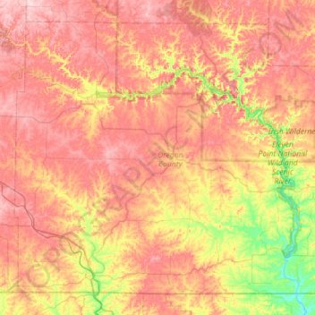
Name: Oregon County topographic map, elevation, terrain.
Location: Oregon County, Missouri, États-Unis d'Amérique (36.49711 -91.67875 36.88824 -91.11567)
Average elevation: 241 m
Minimum elevation: 108 m
Maximum elevation: 354 m